Earth Reading
Movement Ecology · Gourma, Mali
Read the
Readers
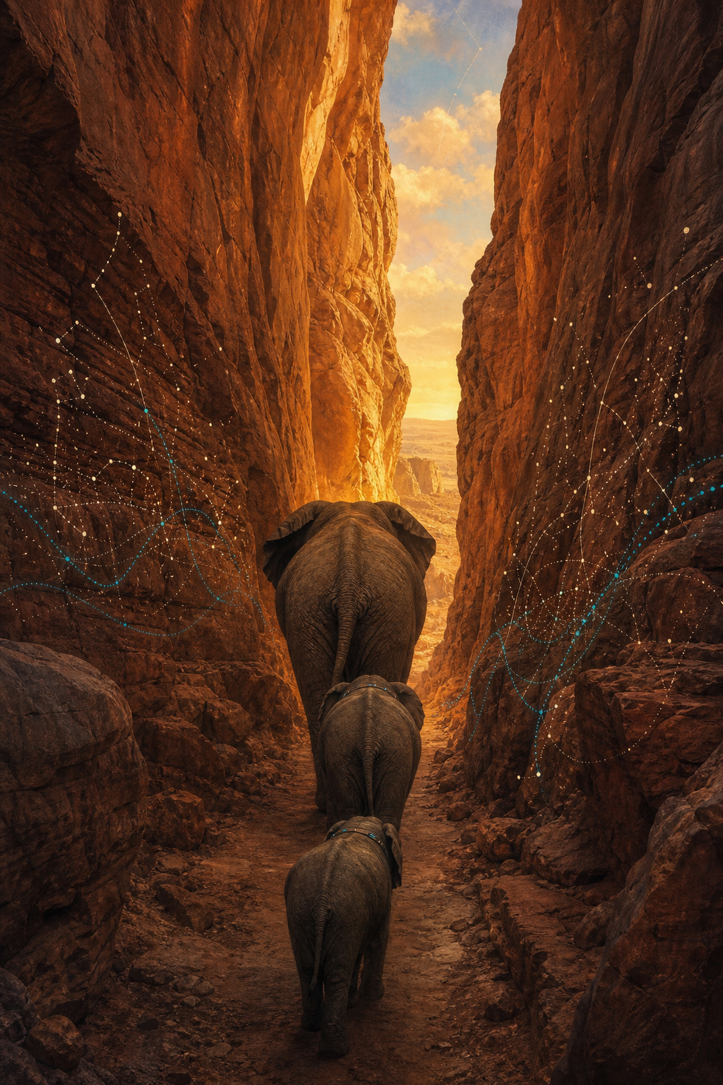
La Porte des Éléphants — The Elephant Doorway
大象之门
A gap 1.6 km wide
La Porte des Éléphants — The Elephant Doorway
大象之门
If you are planning an elephant conservation area, perhaps the first thing you should do is ask the elephants.
That is exactly what movement ecologists have begun to do — not with surveys or maps drawn in offices, but with hourly GPS fixes, satellite imagery, and decades of listening to where animals actually go.
The finding
In the Gourma of Mali — home to Africa's northernmost elephants — collared animals kept threading the same needle: a sandstone valley roughly 1.6 km wide. On a land-use map it looks like nothing. In the movement data it is the hinge the whole migration turns on. Researchers named it La Porte des Éléphants.
The reader of the readers
A handful of collars, a satellite archive, and years of presence on the ground can describe a movement system the size of a country. That is the quiet power of movement ecology: it turns individual journeys into evidence, and evidence into protected ground.
The Gourma work also shows what the data cannot do alone. Where a corridor crosses fields, wells and herding routes, the people who live there are co-authors of any solution.
Movement Ecologist · Kenya / Canada
Uses GPS telemetry, remote sensing and community knowledge to track elephant movement across African landscapes — combining Earth observation with long-term field presence.
What is Movebank
Movebank is an open, global archive where researchers store, manage and share animal tracking data — thousands of studies, hundreds of species, billions of recorded positions kept in one comparable place. Its promise is simple: one elephant's route is a story; ten thousand tracks, side by side, become a map of how life moves on this planet.
The perspective
Water, memory, safety, and the connectivity of a landscape — held in individuals who remember decades.
Season, wind field, temperature — a continent's weather sensed and answered with wings.
Currents, fronts and food webs — the ocean's productivity read from the inside.
Magnetic fields and coastlines — a natal beach found again across an ocean of open water.
For thousands — sometimes millions — of years, these species have been reading the Earth without pause. The question for Earth Reading is not whether they know something. It is how we learn from the readers.
Four decades of listening, and what comes next
1970s — 1990s
One bearing at a time, from a truck or a light aircraft. Enough to know an animal was alive; rarely enough to see a route.
2000s
Hourly fixes, uploaded by satellite. Whole years of movement arrive as continuous lines instead of scattered dots — and bottlenecks like the Gourma passage become visible.
2010s
Greenness, surface water, rainfall and human footprint layered beneath every step, so movement can be explained, not just described. This is the method behind the Gourma analysis.
Next
Open repositories, better satellites and on-device processing point toward corridors identified — and defended — while they are still open. Ask early enough, and the answer is still a doorway rather than a wall.
One page, three languages
English
In the Gourma of Mali, GPS collars drew the same line again and again: a sandstone valley barely 1.6 km wide. It appears on no plan. Yet it holds an entire movement system open. Ask the elephants first — they have been surveying this land far longer than we have.
Français
Dans le Gourma, au Mali, les colliers GPS ont tracé la même ligne, encore et encore : une vallée de grès à peine large de 1,6 km. Absente de tous les plans, elle maintient pourtant ouvert un système de mouvement entier. Demandez d'abord aux éléphants — ils étudient ce pays depuis bien plus longtemps que nous.
中文
在马里的古尔马地区,GPS 项圈一次又一次描出同一条线:一条仅约 1.6 公里宽的砂岩谷地。它不在任何规划图上,却撑开了整个迁徙系统。规划保护区之前,先问问大象——它们阅读这片土地的时间,远比我们长久。
Go further