ONE// For Community Protocol  ·  Reading Earth

Community
Protocol

Who has the deepest motivation to protect this land long-term? Most often — the people who live on it every single day.

Steward · Manager · Beneficiary Solomon Islands Sentinel-2 · Planetary Computer Customary Land
Reading Earth · Community Protocol · Customary Ownership · Sentinel-2 L2A · Solomon Islands · Planetary Computer · Positive Feedback Loop · Reading Earth · Community Protocol · Customary Ownership · Sentinel-2 L2A · Solomon Islands · Planetary Computer · Positive Feedback Loop ·

Who has the most to gain from protecting this land?

Community-based Management and Community Protocol are both, at heart, answering one ancient question. Not a policy question — a human one. The traditional model places local people at the bottom of a chain: "No fishing. No logging. No entry." Residents lose income. Poaching follows. Conservation fails.

The community model inverts this. When the forest thrives, the community earns. When the community earns, they protect the forest. A real positive feedback loop — not enforced, but genuinely desired.

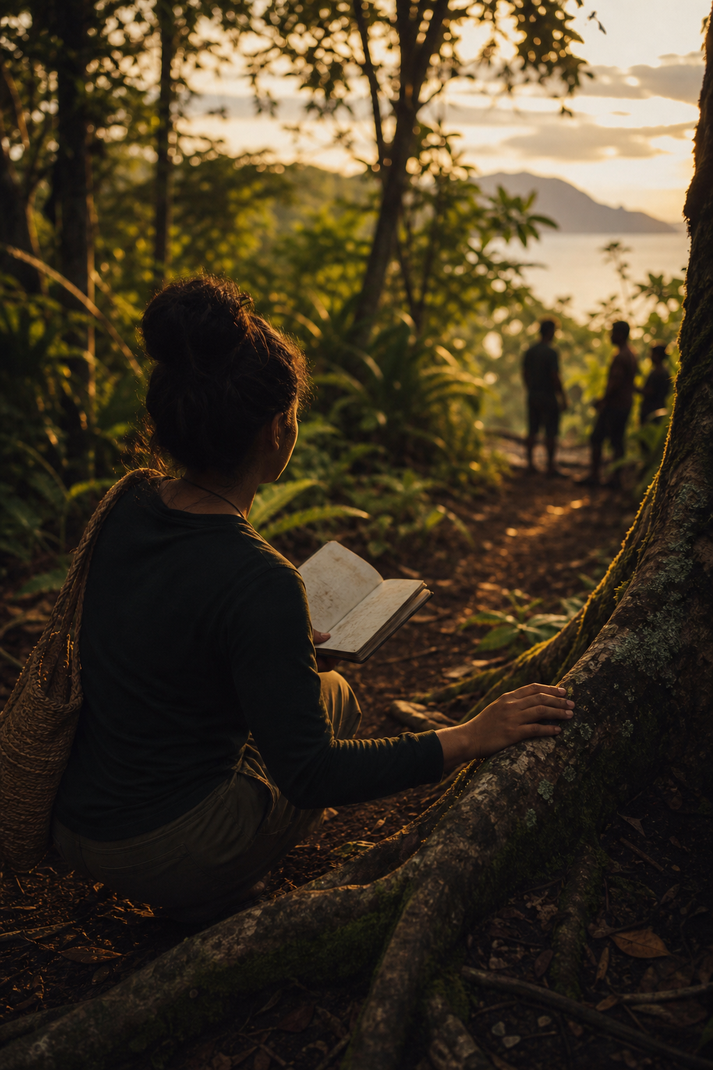
Field — community land stewardship

Field observation · Community land


"The people who live there every day — they are the answer."

ONE// For Community Protocol · 2026

02 — The Three Roles

Community as
Steward, Manager & Beneficiary

In the old model these roles were split across institutions. The breakthrough insight: when one community holds all three, the incentives align completely.

ROLE 01

Steward

守护者

Holds responsibility for the long-term health of the land, forest, and water. Not as an obligation imposed from outside, but as inherited identity.

ROLE 02

Manager

管理者

Makes day-to-day decisions: who enters, what is harvested, how resources are allocated. Decision-making lives close to the land — not in a distant ministry.

ROLE 03

Beneficiary

受益者

Receives the returns: livelihood, income, cultural continuity. Conservation becomes economically rational — not a sacrifice.

Community field work

Field documentation

Local landscape

Local landscape reading


03 — Two Models

Traditional vs.
Community-Led

The traditional hierarchy restricts without sharing benefits. The community-led model makes protection and livelihood the same goal.

Traditional Model

Government
Protected Area
Local People
"No entry. No fishing."

Result: residents lose income → poaching → conservation fails.

Community Model

Community
Forest / Land
Livelihood
Stronger Protection

Result: better forest → higher income → community chooses to protect. Positive loop.

Coastal community view

Coastal terrain

Land from above

Elevated observation

Community environment

Ground-level reading

Community Protocol is
a community's own API

UNEP defines it as the rule system a community creates to tell the outside world how to engage with them. But this framing also has a deeply old lineage — protocols have governed clans, forests, and oceans long before software ever existed.

Protocol is not a word owned by code. It is the oldest form of consensus governance.

🌿

Who we are

Our identity, our clan lineage, our relationship to this land across generations.

🗣

How we decide

Consensus processes, elder councils, clan agreements — the decision architecture.

🌊

How we protect

Seasonal rules, sacred zones, sustainable harvest practices encoded in lived culture.

🤝

How to work with us

Procedure for outsiders

What consent looks like, who to approach, what engagement means here.

80%+

of land under customary community ownership — not state title. The starting point for every project is not a permit — it is community consent.

Why it matters

In Solomon Islands, land flows: Land → Clan → Community. Not Land → Government. Any development that bypasses this chain fails — not for legal reasons, but because the people who know the land, read the seasons, and carry the ecological memory are not inside the project.

The real threshold

The critical question is not "do you have a permit?" The critical question is "does the community agree?" Many outside projects have failed here not from bad technology — but from never crossing this threshold. Community Protocol is the threshold.

80%

Customary land

3

Roles unified

1

Core question

Sentinel-2 L2A · Planetary Computer

Reading Earth
from above

Sentinel-2 gives us 10m multispectral imagery updated every 5 days. Planetary Computer makes it accessible via STAC API. But here is the honest truth from a young researcher:

$ stac.search(collections=["sentinel-2-l2a"],

bbox=[Solomon Islands bounds],

query={"eo:cloud_cover": {"lt": 20}})

# Getting data is step one. Understanding it is the real work.

# NDVI · Band ratios · Change detection · Still learning.

Even with all satellite data available, connecting spectral signatures to ground truth — to what a community elder knows about a forest patch — remains genuinely hard. That gap is the research.

Satellite / aerial view with annotations Forest canopy High NDVI density Community zone Customary boundary Coastal / marine interface ~2 km

← Sentinel-2 derived view · Annotations: researcher's reading of the Earth

06

Images from
the Ground

Field notebook meets satellite intelligence — hero image

Field notebook meets satellite intelligence · Human-scale stewardship

Community land observation

Observing the land

Field session

Field session

Local environment

Local terrain reading

Coastal view

Coastal interface

Elevated perspective

Elevated perspective


My real feeling is — even when we can get more information from Planetary Computer, it is not that easy to understand how to actually use it.

As a young researcher, I am still trying and learning. I think we can inspire more young researchers to try, together.

The satellite sees the forest from 786 km up. The community reads the same forest from inside it, with knowledge that took generations to build. Both readings matter. Neither is complete alone.

Community Protocol is not just a governance framework. It is the bridge between what the satellite sees and what the land actually means — to the people who call it home.

— Navi, ONE// For X · 2026

Additional Field Views

Field view A

Field reading

Field view B

Landscape context

Field view C

Ground observation

The forest protected best
is the forest worth protecting

When stewardship, management, and benefit align in one community — conservation stops being a restriction and becomes a rational, desired act. That is the insight at the heart of Community Protocol.

Reading Earth · Listening to Community ONE// For X · Jul 2026