A lone human figure in a vast sensor-mapped landscape, embodying the returning observer amid planetary-scale data
Earth LinC · Ground Truth

Who Will Ground-Truth the Planet?

Between satellites and conservation lies a missing middle — people who return, observe, verify, and translate. We have never been able to watch the Earth more than we do today. Yet one question remains unanswered.

Scroll
The Question

Why does having more data not necessarily give us a greater ability to protect the Earth?

Satellites circle the planet every day. AI can detect change at global scale. Drones, sensors, and automated systems are expanding observation capacity at a pace once unimaginable.

Yet field sampling, long-term observation, local interpretation, action verification, community feedback, and data governance still depend on scattered people and institutions — a fragile, underinvested human layer.

The GEO In-Situ Data Strategy recognises that both satellite-based and in-situ observations are the foundation of Earth Intelligence, and directly addresses the challenges of field data access, integration, and use.
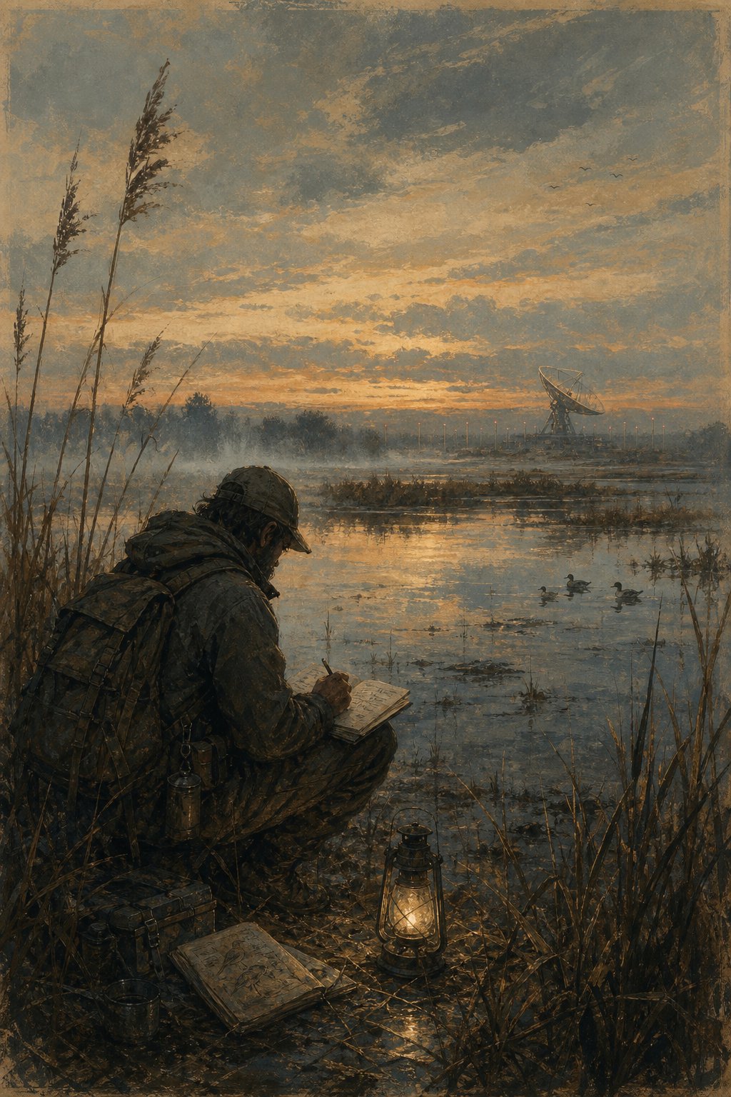
"Between observation and action lies a missing middle. This is a story about the people who return."

— Ground Truth, Earth LinC
Core Statement · 三语 / Trilingue
English

The Missing Middle

Between satellite observation and meaningful conservation action lies a gap: the humans who return to the same place, verify what sensors detect, and translate data into decisions that protect living systems.

Français

Le Maillon Manquant

Entre l'observation satellitaire et l'action de conservation concrète, il manque un maillon humain : des personnes qui reviennent sur place, vérifient ce que les capteurs détectent, et transforment les données en décisions de protection.

中文

缺失的中间层

在卫星观测与实际保护行动之间,存在一个缺口:那些回到同一地点、核实传感器所探测到的信号、并将数据转化为保护决策的人。这才是真正的Ground Truth。


01 · The Gap Is Real

How Large Is the Gap?

Three signals from the evidence — three specific, measurable absences at the heart of Earth observation.

51% of biodiversity data improvable by communities
416 global albedo validation sites — "sparsely distributed"
13.4% of land meets WMO rainfall monitoring standards
3,600+ citizen science projects in GBIF — clustered in 2 regions
4,381 GEO BON members across 163 countries
17% accuracy gain in heterogeneous landscapes with better ground truth
Signal 01
51%

Global biodiversity goals need community-contributed data

UNEP-WCMC and UNDP studied 365 indicators of the Kunming-Montréal Global Biodiversity Framework. Citizens, Indigenous peoples, and local communities can improve data collection for 51% of indicators — and for 30%, they can also participate in analysis and interpretation.

Signal 02
416

Global ground stations are sparse — and one point ≠ one pixel

A global surface albedo validation study compiled only 416 field sites from a "sparsely distributed global observation network." A single ground point cannot represent a km-scale satellite pixel in heterogeneous terrain. Combining temporal and spatial data reduced RMSE by 6.04% globally — and 17.09% in complex landscapes.

Signal 03
1 day

Volunteers are many; those who stay are few

Research on three London biodiversity recording platforms found most volunteers contribute few records and are active for only a single day. Data shows clear species, place, and time bias — common, easy-to-reach species accumulate records; rare and remote ones do not. Continuity, not participation, is scarce.

"The real gap is not the absence of people willing to join a BioBlitz. It is the absence of people willing to return — continuously supported, following a protocol, maintaining quality, and able to interpret change."

— Inspired by the long records of Concord and Broadbalk: one observation is common; continuity is rare.

02 · Missing Middle

不是一个职位,而是一套角色
Not one job — a distributed chain of roles

Remove any link and the chain breaks: signal without verification, data without context, knowledge without a path into decisions.

Satellite + AI
Detect large-scale change and anomaly. Global reach, but no local meaning on its own.
Local Observer
Confirms whether a change actually happened on the ground — and what it looks like in reality.
Domain Interpreter
Translates signals into ecological, hydrological, agricultural, or public health meaning.
Community Steward
Holds history, patterns of use, risk, and local priorities that no satellite can carry.
Data Steward
Preserves method, location, time, metadata, and permissions — making observations durable.
Decision Connector
Moves evidence into conservation, adaptation, investment, and policy decisions.
Returning Observer
Comes back to the same place — to verify whether action worked. The rarest role of all.
The Chain · 三语
English

Field-to-System Gap

The world is not simply missing field workers. It is missing the full human capability chain — from verified observation through interpretation, to feedback that confirms whether action made a difference.

Français

Lacune Terrain–Système

Il ne manque pas simplement des observateurs de terrain. Il manque toute la chaîne humaine : de l'observation vérifiée jusqu'à l'interprétation et au retour d'information confirmant si l'action a produit un effet.

中文

从现场到系统的能力缺口

世界缺少的不只是现场人员,而是一条完整的能力链:从经过验证的观察,到解释,再到能够确认行动是否有效的反馈回路。


03 · Where Are We?

各国家与区域走到哪里?
Where has each region reached?

Progress varies enormously — from near-national career systems to regions where the coordinator layer barely exists.

Australia

Indigenous Rangers

3,800+
Progress

From volunteer monitoring to formal employment. Over 320 ranger groups, 159 organisations. AUD 1.3B+ government investment 2021–2028. Traditional Knowledge and technical monitoring combined.

Opportunity

Connect ranger data with EO, fire, coast, biosecurity, and climate models while ensuring Indigenous data sovereignty. Monitoring Country is building standardised tools.

Canada

Indigenous Guardians

240+
Progress

240+ First Nations, Inuit, and Métis Guardian initiatives since 2018. ~1,500 culturally meaningful jobs. Guardians are officially described as the "eyes and ears" on lands, waters, and ice.

Opportunity

Convert short-term contribution agreements into long-term career stability. $8M/year for community-based climate monitoring. Youth entry, data sovereignty, cross-community networks.

Europe

Citizen Science Networks

Mature
Progress

Large volunteer monitoring platforms, national species recording traditions. EEA uses volunteer observations for policy indicators. Digital infrastructure and training relatively mature.

Gap

Methods inconsistent across projects. Rare species under-recorded. Local data struggles to enter official systems. Volunteer retention is fragile. Need paid coordinators, validators, taxonomy specialists.

Africa

Community Monitoring

Urgent
Progress

Kenya Bird Map, regional training, local manager networks emerging. Citizen Science for Conservation in Africa trained 26 managers from 9 countries in protocol design, bias identification, and policy translation.

Gap

WMO: African ground station density far below global standards. The bottleneck is not observer count but the coordinator layer — people who design protocols, train participants, analyse data, and move results into decisions.

Latin America + SE Asia

Community Governance

156
Progress

In one Philippine study, 156 interventions emerged from community monitoring — 22% targeted local resource-use rules. After one community reported declining fish, local government restricted gear; seven months later fish abundance increased.

Opportunity

Monitoring and local governance are not separate. Don't treat communities as cheap sensors — involve them in problem definition, interpretation, rule-making, and results use. Indigenous Navigator operates in 11 countries.

China + East Asia

Distributed Potential

Emerging
Progress

Existing forces distributed across nature reserves, forest/grassland monitoring, river-lake chief systems, nature education, university field stations, citizen science, and NGO projects.

Opportunity

The opportunity is not to create a new organisation, but to connect existing roles: protected areas + research stations + NGOs + schools + communities + farmers — linked by a shared, non-burdensome local protocol and long-term open archives.


04 · The Framework

A Distributed Ground Truth System

Six layers every credible observation system needs — and three pathways to build it.

PLACE → OBSERVER → PROTOCOL → EVIDENCE → AI → INTERPRETATION → ACTION → RETURN
The full chain. Each node does one specific job. None is optional.
01
Place
A real location or ecological boundary — the anchor point everything else depends on.
02
Observer
A person willing to return — trained, supported, and motivated over years, not days.
03
Protocol
A repeatable method — standardising time, position, method, unit, so observations across years are comparable.
04
Evidence
Field data + community knowledge + sensors + satellite — multiple streams, unified in one record.
05
AI
Finds patterns, anomalies, and sites that need human review. Fast — but blind without human context.
06
Interpretation
Explains why change happened — connecting ecological, cultural, and historical knowledge.
07
Action
Protection, restoration, early warning, adaptation, investment — evidence entering the world.
08
Return
Come back. Verify whether action worked. This closes the loop — and is the most neglected step of all.
Pathway 01

Volunteer Entry

Help ordinary people find an entrance — a first observation, a species identification, a rain gauge reading. But volunteers cannot carry the full institutional burden. Entry matters; continuity is the harder design problem.

Pathway 02

Paid Local Stewardship

Real payment for continuous observation, equipment maintenance, data management, and verification. Canada and Australia have already demonstrated this is not imagination — it is infrastructure. Paid stewardship is the structural backbone.

Pathway 03

Professional Bridge Workforce

People who can move between Earth Observation, AI, field science, community knowledge, and decision-making — translators across layers. The EnviroDNA eDNA Field Technician role is one concrete example already in the market.


Ground Truth

Satellites are becoming abundant.
What remains rare is human continuity.

AI is becoming fast. Sensors are spreading. But the thread between observation and action — the person who returns, verifies, interprets, and feeds back — is not yet built into the architecture of how we govern this planet.

English

Ground Truth is a distributed human infrastructure. It is not built yet. That is the work.

Français

La vérité terrain est une infrastructure humaine distribuée. Elle n'est pas encore construite. C'est le travail qui reste.

中文

Ground Truth 是一套分布式的人类基础设施。它尚未建立。这,正是接下来要做的事。

The Four Purposes
Learning
Discover something interesting about where you are
Action
Engage with the real world around you
Records
Make observations durable — for others and for time
Sharing
Enable others to continue what you began

References · 参考文献 · Références
01
GEO In-Situ Data Strategy — earthobservations.org Global Earth Observation — satellite + in-situ as foundations of Earth Intelligence
02
UNEP-WCMC — Kunming-Montréal Biodiversity Framework indicators 51% of indicators improvable by communities and Indigenous peoples
03
UNDP — Global Biodiversity Framework data study Community participation in analysis and interpretation for 30% of indicators
04
Nature — Citizen science biodiversity data quality and bias London biodiversity platforms: volunteer retention, species/place bias
05
ESSD Copernicus — Global surface albedo validation study 416 field sites, spatial heterogeneity, 17.09% accuracy gain
06
Nature (2026) — Global land precipitation monitoring study Only 13.4% of global land meets WMO annual monitoring requirements
07
NIAA — Australian Indigenous Rangers Program 320+ ranger groups, 3,800+ positions target, AUD 1.3B+ 2021–2028
08
Australian Government — Indigenous Ranger Biosecurity Program Fee-for-service monitoring of high-risk waterways, pest/disease surveillance
09
Government of Canada — Indigenous Guardians Program 240+ initiatives, ~1,500 culturally meaningful jobs since 2018
10
RCAANC — Indigenous Community-Based Climate Monitoring Program ~$8M/year for community-designed climate monitoring; youth employment
11
EEA — Citizen science and policy indicators, Europe Volunteer observations used in official EU biodiversity reporting
12
ECSA — European Citizen Science Association Protocol coordination, data quality, interoperability challenges
13
GEO BON — Biodiversity Observation Network 4,381 members, 163 countries — and acknowledged capability gaps in many nations
14
GBIF — Global Biodiversity Information Facility 3,600+ citizen science projects; >50% of records from citizen science; geographic clustering
15
WMO — African ground observation network density Station density below global standards; SOFF support for gap countries
16
SOFF — Systematic Observations Financing Facility Long-term funding for observation gaps; small island states; operator/technician training
17
ILO — Indigenous Navigator community monitoring Pilots in 11 countries: Bangladesh, Bolivia, Cambodia, Cameroon, Colombia, Kenya, Nepal, Peru, Philippines, Suriname, Tanzania
18
EnviroDNA — Field Technician eDNA 2026 Water eDNA sampling, community training, standardised protocols — a concrete commercial role
19
PMC NCBI — Volunteer retention in citizen science platforms Most volunteers active one day; strong species, site, and temporal bias
20
CBD — Convention on Biological Diversity monitoring framework Kunming-Montréal GBF indicator monitoring requirements and gaps