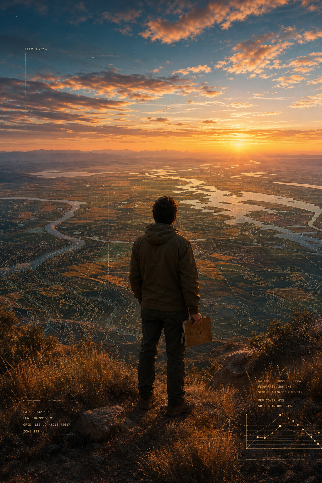
The Entrance
Finding the door — and why calm is the right feeling.
"Every long walk begins with a single step through a door you can see clearly. That clarity is not emptiness — it is focus."
There is a specific feeling when you find a genuinely good entrance: not excitement, not anxiety — calm. The calm that arrives when a road ahead is visible, when you know both your capacity and your direction. That is exactly the feeling described here. The entrance is not arbitrary. It sits at the intersection of a ten-year personal roadmap, a real skill set, and a world-level need that is quietly becoming urgent.
The year 2026 carries a particular weight. The confluence of accessible AI tools, democratised satellite data, and the maturing of long-term ecological monitoring programs means that an individual — or a tiny team — can now do what once required an institution of fifty people and a decade of funding cycles. The chain has shortened. And whoever can stand at the short end of that chain, with both technical fluency and genuine on-site knowledge, holds something rare.
This is not a theory. It is a pattern visible across citizen science, open remote sensing, participatory mapping, and the quiet explosion of independent researchers publishing peer-reviewed work from laptops and field notebooks. The timing is right. The skills are real. The commitment is ten years. The loop — observe, analyse, return, deepen — is the method.
The Argument
Why Earth Observation + Human Observation
together is the big strategy.
Earth Observation (EO) — satellite imagery, remote sensing, multispectral and SAR data — has undergone a revolution. ESA's Sentinel programme delivers free, globally consistent imagery every five days. NASA's Landsat archive reaches back to 1972. Commercial constellations (Planet Labs, Maxar) now provide daily sub-metre imagery almost anywhere. Machine learning pipelines can detect land-cover change, estimate biomass, map flood extent, or monitor coastal erosion at scale. The data is extraordinary. But data without ground-truth is hypothesis without evidence.
Human Observation — long-term observers, local ecologists, indigenous knowledge holders, citizen scientists, and simply people who have walked the same stretch of land for years — carries what satellites cannot sense: phenological nuance, historical memory, anomaly detection by nose and ear, the texture of what "normal" looks like before a camera was ever pointed there. Howard Frumkin's work on nature and health, the long tradition of phenological observation networks (from Aldo Leopold's journals to the USA National Phenology Network), and the emerging field of community-based monitoring all point in the same direction: the human observer is irreplaceable.
The bridge between these two worlds — Earth Observation and Human Observation — is the strategic gap. Big organisations have resources but long chains. An individual with AI fluency, field access, and a decade of patient attention can occupy that bridge uniquely. They can validate satellite-derived maps against their own footsteps. They can generate the "ground-truth" labels that train better models. They can notice what the algorithm flags as anomaly and say: "I was there last spring — here is why."
This is not marginal work. Ground-truth is the rate-limiting step of global environmental monitoring. Every major EO programme — Copernicus, SERVIR, JAXA's ALOS, the GEO BON network — explicitly acknowledges that field validation data is scarce, expensive, and geographically biased. A distributed network of deeply capable individual observers, each trusted and technically fluent, is not a workaround. It is the next architecture.
And AI changes the calculus for the individual. Tools like Google Earth Engine, Global Forest Watch, Microsoft Planetary Computer, and AI-assisted interpretation mean one person can now analyse continental-scale datasets, identify priority field sites, and publish findings that would have required a university lab five years ago. The individual enters the loop not as a hobbyist but as a precision instrument.
2026 – 2035 · Strategic Foundation
Three core areas
for the decade.
CORE 01
Ground-Truth Bridge — Connecting Pixels to Places
Build a sustained practice of field-validated Earth Observation: select specific landscapes, return seasonally, generate structured observation data that directly complements satellite-derived products. Partner with EO programmes (Copernicus, NASA SERVIR, GEO BON) to submit ground-truth datasets. Each site visit is a contribution to a global validation layer.
Field · Satellite · ValidationCORE 02
AI-Empowered Individual Analysis — The Capable Solo Researcher
Master the AI-augmented research stack: Earth Engine for analysis, large language models for literature synthesis, open-source ML for pattern detection, and structured publication pipelines (preprints → peer review → open data). Develop a personal methodology that is repeatable, documentable, and shareable — so the work compounds over ten years rather than dispersing.
AI · Analysis · PublicationCORE 03
Long-Term Human Observation Network — People Who Stay
Identify and connect with long-term observers worldwide — ecologists, farmers, foresters, indigenous monitors, citizen scientists — whose decadal knowledge is under-digitised and under-cited. Serve as a bridge node: help translate their observations into formats that EO programmes can ingest, and bring satellite context back to enrich their understanding. Trust, continuity, and reciprocity are the method.
Network · Community · TrustThe Loop · Personal Roadmap
10 years, life-long — what the loop looks like.
2026 — The Entrance
Choose the first sites. Begin the first loop.
Select two or three landscapes that are personally meaningful and scientifically interesting. Establish baseline observations — phenology, land cover, water, community knowledge. Commit to returning. Set up the AI analysis workflow. Publish a first open field dataset.
2027 – 2029 — Depth Before Breadth
Return, compare, deepen. Trust the slow data.
The first return visits reveal what the baseline missed. Satellite anomalies get explained by field notes. Field questions get answered by archive imagery. The loop tightens. Begin connecting with long-term observers at each site. Submit ground-truth datasets to Copernicus and GEO BON. Publish two to three peer-reviewed notes or data papers.
2030 – 2032 — The Network Forms
From solo observer to bridge node.
A small constellation of trusted collaborators — other individual observers, a field partner, perhaps a university affiliate — forms naturally around shared sites and shared data. The work is no longer solo but it remains lean. Contribute to a citizen science platform or co-found a small open working group. Demonstrate the individual-to-global pipeline clearly enough that others can replicate it.
2033 – 2035 — A Decade of Evidence
Ten years of ground-truth becomes a rare asset.
A decade of structured, field-validated observation is genuinely rare. Very few individuals hold it. The data itself attracts collaboration — from researchers, from monitoring programmes, from policy processes. The roadmap expands toward life-long: not because of ambition but because the loop is now self-sustaining and genuinely useful. Write the methodology. Share the model openly.
Life-long — The Patient Horizon
Observation as practice, not project.
The longest ecological datasets in existence — Rothamsted, the Mauna Loa CO₂ record, Aldo Leopold's phenology journals — were kept by individuals or tiny teams who simply did not stop. That patience is itself the contribution. The life-long frame is not intimidating; it is liberating. Every year of work makes the next year more valuable.
Kindred Minds — Global Research
People who share
a similar loop.
These researchers, practitioners, and thinkers have each, in their own way, been walking the same bridge — between satellite data and human presence, between individual observation and global significance. Their work is cited below; their methods are worth studying closely.
Jake Wall
Movement Ecologist · Kenya / Canada
Uses GPS telemetry, remote sensing, and community knowledge to track elephant movement across African landscapes. Demonstrates how small teams generate continent-level insight by combining EO with long-term field presence.
movebank.orgInian Moorthy
Remote Sensing Scientist · UBC / ESA
Works on linking satellite-derived vegetation indices with ground-based spectroradiometry. His research directly addresses the ground-truth gap in global vegetation monitoring and the role of individual observers in calibration.
ubc.caLera Miles
Senior Researcher · UNEP-WCMC
Published extensively on combining EO and community data for biodiversity monitoring. Her paper "A global overview of the evidence for payment for ecosystem services" is foundational for linking observation to value.
unep-wcmc.orgMargaret Kosmala
Ecologist · Harvard / PhenoCam
Co-developed the PhenoCam network — a global grid of near-surface cameras tracking seasonal vegetation change, bridging automated sensing with citizen annotation. A model for the individual-to-global pipeline.
phenocam.nau.eduSteffen Fritz
Senior Researcher · IIASA · GeoWiki
Leads Geo-Wiki, a platform where citizen scientists validate global land-cover maps derived from satellites. His work shows exactly how distributed individual ground-truth fundamentally improves global EO products.
geo-wiki.orgElinor Ostrom
Nobel Laureate · Community Governance
Though not an EO researcher, Ostrom's work on the governance of commons — and the power of locally embedded, long-term observers to manage shared resources better than distant institutions — is the intellectual foundation of everything here.
Governing the Commons (1990)Rob Simmon
Data Visualiser · NASA Earth Observatory
Spent two decades making NASA satellite data legible to the public. His argument — that the most powerful thing you can do with EO data is make it human-readable — is a quiet manifesto for the bridge work described here.
earthobservatory.nasa.govCaleb Scoville
Environmental Sociologist · Tufts
Studies how long-term ecological monitoring communities form and sustain themselves. His research on "monitoring cultures" explains why continuity of individual observers is a social infrastructure question, not just a scientific one.
Tufts SociologyNathalie Pettorelli
Conservation Scientist · ZSL London
Author of Satellite Remote Sensing for Conservation Action (2019, Cambridge UP). Makes the clearest published case for integrating EO with field-based biodiversity monitoring at the individual practitioner level.
Cambridge University PressFurther Learning · All References
The reading list — go deeper.
-
Satellite Remote Sensing for Conservation Action. Cambridge University Press.
cambridge.org — Satellite Remote Sensing for Conservation Action -
"A global dataset of crowdsourced land cover and land use reference data." Scientific Data, 4, 170075.
nature.com/articles/sdata201775 -
"Assessing data quality in citizen science." Frontiers in Ecology and the Environment, 14(10), 551–560.
esajournals.onlinelibrary.wiley.com -
Governing the Commons: The Evolution of Institutions for Collective Action. Cambridge University Press.
dlc.dlib.indiana.edu -
Essential Biodiversity Variables framework and open data portal.
geobon.org -
Applied Earth observations and geospatial information services for development.
servirglobal.net -
Free and open satellite data for Earth monitoring.
copernicus.eu -
Cloud-based platform for planetary-scale geospatial analysis.
earthengine.google.com -
A multi-petabyte catalog of global environmental data with APIs, a data catalog, and a computing environment for Earth science and sustainability workflows.
planetarycomputer.microsoft.com -
Real-time deforestation monitoring using satellite data and community alerts.
globalforestwatch.org -
"Tracking vegetation phenology across diverse North American biomes using PhenoCam imagery." Scientific Data, 5, 180028.
nature.com/articles/sdata201828 -
"Making monitoring matter: civic epistemology and the construction of citizen science." Theory and Society, 50, 635–672.
link.springer.com -
"Elephant movement, space use, and human impact across Africa." Nature Human Behaviour, 5, 51–61.
nature.com/articles/s41562-020-00971-7 -
Global biodiversity observation platform linking citizen naturalists worldwide.
inaturalist.org -
Long-term plant and animal phenology records, open data.
usanpn.org -
A Sand County Almanac. Oxford University Press. — The foundational text of long-term personal ecological observation.
archive.org — A Sand County Almanac -
Urban Sprawl and Public Health. Island Press. — On human relationship to land, health, and long-term place attachment.
islandpress.org -
Daily Earth imagery at sub-metre resolution, open education access.
planet.com/education-and-research -
Citizen science ground-truth validation for global land cover maps.
geo-wiki.org