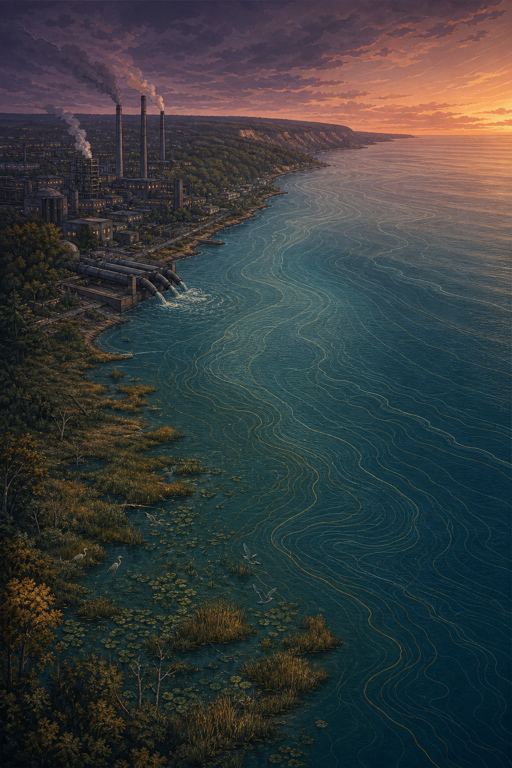
A lake that carried a region into being, and then carried the weight of what it became. These are field notes from that journey — told backward, the way a burden is easier to trace than a blessing.
↓ read the shoreline
Opening Note
Every research project has to start somewhere, and this one starts at the edge of water.
Lake Ontario is the smallest of the five Great Lakes by surface area, and arguably the most lived-on: close to nine million people now call its western curve home — more than settle along any other Great Lake shoreline. That curve has a name, the Golden Horseshoe, and it did not draw itself. The lake drew it first. The harbours, the highways, the rail lines, the sprawl — all of it followed a line the water gave the region long before anyone gave that line a name.
What follows is not a triumph story. It is closer to a hero's journey run in reverse — a lake that gave a region its shape, its water, its industry, its food, its front door to the world, and slowly, unglamorously, became the place that absorbed the cost of all of it. This project traces that arc, in four movements, with the sources that informed it kept honestly at the end.
Field Map
How the horseshoe formed
Settlement along Lake Ontario's western basin thickens exactly where the water made it easiest to arrive: deep natural harbours, flat lakeplain, and a portage route around Niagara Falls. Below is a schematic — not a survey — of that pattern, wrapping the lake's western tip like a hand around a cup.
Fig. 2 — Schematic of the Golden Horseshoe, not to scale. Density thickens where the harbours are deepest and the land is flattest — a pattern written by water long before it was written into a map.
01
The Spine
A shoreline that held everything up
Long before it was a lake on a settler map, this shoreline was a route — a corridor of travel and trade for the Haudenosaunee and Anishinaabe nations who fished its waters and moved along its edge. When colonial towns arrived, they didn't choose their sites at random: York (later Toronto) was founded in 1793 for its sheltered harbour, Hamilton grew around its bay, and the portage route past Niagara Falls became a hinge connecting Lake Ontario to Lake Erie and the continent beyond.
For over a century, the lake behaved like a spine — a single, continuous structure that the rest of the region's body could grow outward from. Roads ran along it. Rail followed the roads. The lake did not just border the Golden Horseshoe; it authored the horseshoe's shape.
Fig. 3 — Where the water still remembers being a road.
02
The Current
The vein that fed a century
By the twentieth century, the lake had become infrastructure. Hamilton's steel mills drew cooling water from the bay and shipped product out through it, earning the city its nickname, "Steeltown." Oshawa's automobile plants grew on the strength of the same lakefront access. The Welland Canal, cut across the Niagara Peninsula, let freighters bypass the falls entirely and stitched Lake Ontario into a continental shipping network reaching the Atlantic.
Population followed industry, and both followed water. The lake supplied drinking water to millions, cooling water to factories, and — with far less ceremony — became the place where the region's used water went back out. It was never asked whether it wanted that role. It was simply closest.
Fig. 4 — Industry arrived at the waterline and stayed.
"The lake was never asked to be a sink. It was simply closest."
— field note, on the shift from lifeline to infrastructure
03
The Chain
When the lifeline became the ledger
By the 1960s and 70s, the cost of that convenience surfaced — sometimes literally, as algae. Phosphorus from sewage and fertilizer runoff fed massive algal blooms; combined sewer systems overflowed into the lake during heavy rain; industrial harbours like Hamilton's accumulated enough contamination to later be designated a federal Area of Concern. Invasive species arriving in the ballast water of freighters — zebra and quagga mussels among them — reshaped the food web from the bottom up.
And the shoreline itself, once the region's open front door, became something narrower. Ports, rail corridors, and highways hardened long stretches of it, fencing the public away from the very water that had built the cities behind it. The spine that once let people move freely along the lake had, in places, become a chain — the same shoreline, now constraining rather than connecting.
Fig. 5 — The water is close. In most places, the public is not.
04
The Reckoning
An unfinished return — present tense
In a hero's journey, the traveler returns transformed, carrying something back for everyone. This story doesn't get that ending — not yet. What it gets instead is vigilance. Canada and the United States signed the first Great Lakes Water Quality Agreement in 1972, renewed and strengthened since, committing both countries to reducing pollution across the basin. Hamilton Harbour has been under active remediation for decades. Toronto's waterfront has been slowly reopened to the public, creek by creek, park by park. The Ontario Greenbelt now limits how far the region's sprawl can push outward from what's left of the lake's natural edge.
None of it is finished. Climate change is bringing higher lake levels, harder storms, and more frequent shoreline flooding to the same horseshoe that keeps growing along its edge. The return this project documents isn't triumphant — it's ongoing. The lake wasn't saved. It's being watched, which, for a research project, is its own kind of honest ending.
~9M
residents along the Golden Horseshoe
1972
first Great Lakes Water Quality Agreement
Smallest
of the five Great Lakes by surface area
Closing Note
The lake did not fail the region.
This chronicle began as a research project on the historical geography of the Golden Horseshoe, and it remains one — an open file, not a closed case. The lake simply kept doing what shorelines do: hold the shape it was given, absorb what was put into it, and wait to see whether anyone decides to give it another shape entirely.